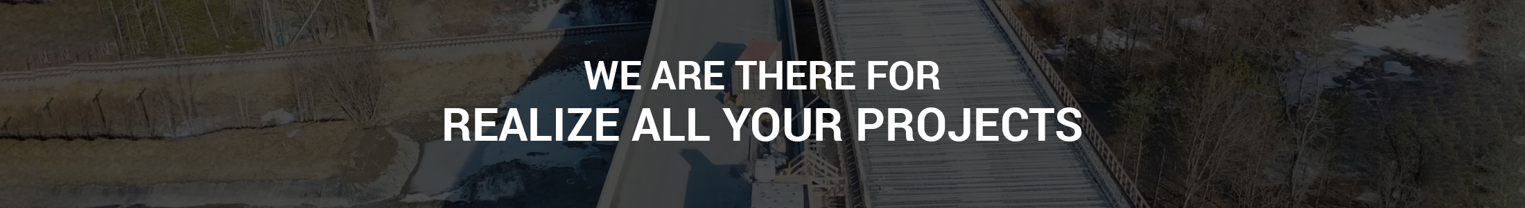
Photogrammetry
Aerial drone photogrammetry consists of mapping an area using aerial images taken by a drone. The process involves capturing numerous flat shots, which are then transformed into relief images by 3D modeling software. Stereoscopic and geolocalized images make it possible to reconstruct a precise 3D map, useful for measuring dimensions, reliefs and volumes. This method, economical and rapid, finds applications in various fields such as public works, construction (visual inspection of the building) and other sectors requiring 3D representations. Example: On a construction site, we can calculate the topography of the land, or calculate the inventory of the site in volume.

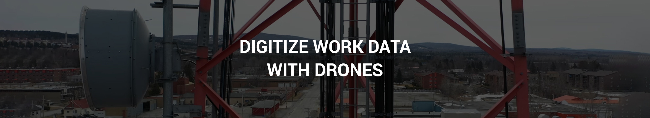
Visual inspection of infrastructures
The drone’s mobility, agility and image quality will make your visual inspections easier DronEstrie does indoor and outdoor infrastructural and architectural visual inspections.
![]() Rooftops
Rooftops
![]() Cell phone towers
Cell phone towers
![]() Chimneys
Chimneys
![]() Bridges
Bridges
![]() Ventilation systems
Ventilation systems
![]() And more
And more
Construction sites
DronEstrie will effortlessly keep track of your site’s progress and of your inventory, as well as give you an image and video database for your records.

Construction sites
DronEstrie will effortlessly keep track of your site’s progress and of your inventory, as well as give you an image and video database for your records.

Insurance claims
Insurance claims are never simple, and DronEstrie will give you all the visual evidence you will need. Witness the extent of the damage caused by:
![]() Fire
Fire
![]() Flood
Flood
![]() Landslide
Landslide
![]() Glaze
Glaze
![]() Severe storm
Severe storm
Insurance claims
Insurance claims are never simple, and DronEstrie will give you all the visual evidence you will need. Witness the extent of the damage caused by:
![]() Fire
Fire
![]() Flood
Flood
![]() Landslide
Landslide
![]() Glaze
Glaze
![]() Severe storm
Severe storm
Search and rescue
To support in real-time rescue efforts on the ground, DronEstrie can cover a larger research perimeter in hard-to-reach places thanks to its tracking speed and precision.

Search and rescue
To support in real-time rescue efforts on the ground, DronEstrie can cover a larger research perimeter in hard-to-reach places thanks to its tracking speed and precision.

Advertising
Promote your business projects with breathtaking aerial pictures! With DronEstrie, you will be sure to grab the attention of your audience, whether it is on social media or on the big screen.
![]() Real Estate
Real Estate
![]() Golf courses
Golf courses
![]() Tourism and resorts
Tourism and resorts
![]() Car dealers
Car dealers
WORK WITH DRONESTRIE
Execution process
Assessment
![]() Free quotation
Free quotation
![]() Customized packages
Customized packages
![]() Plans tailored to your needs
Plans tailored to your needs
![]() Flight authorization check
Flight authorization check
Reservation
![]() Flexible schedule
Flexible schedule
![]() Professional and reliable pilot
Professional and reliable pilot
![]() Tailored agreement
Tailored agreement
Production
![]() Environment evaluation
Environment evaluation
![]() Ultra high-definition images
Ultra high-definition images
![]() Video live-feed
Video live-feed
Delivery
![]() Integral digital transfer on USB stick or FTP website
Integral digital transfer on USB stick or FTP website
![]() Royalty-free material
Royalty-free material
MEET DRONESTRIE
Who are we?
DronEstrie is motivated by the desire to support you in your projects, whatever they may be.
Offering our expertise to businesses, emergency services, public services and individuals, in order to produce high quality images, inspections and photogrammetric data with drone.
Eager to serve the population, to be an avant-garde partner.
We fly over for you!

Patrick Brosseau
Owner and founder of DronEstrie
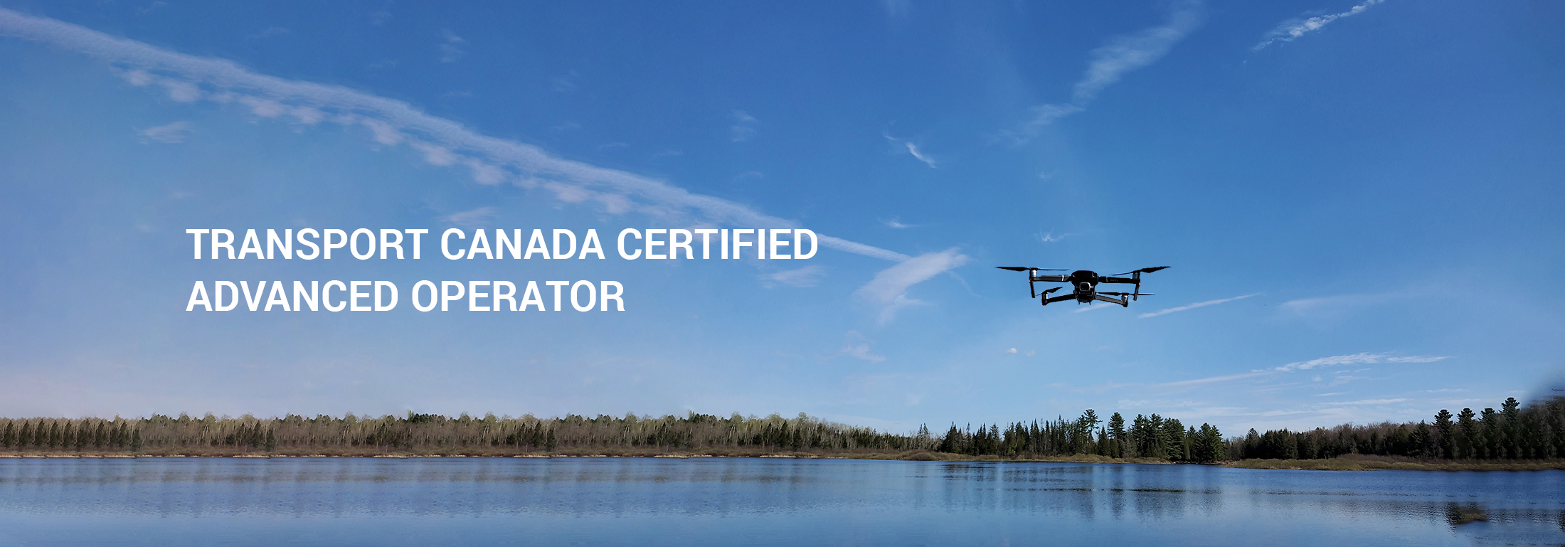
Transport Canada certified advanced operator
MEET DRONESTRIE
Who are we?
DronEstrie is motivated by the desire to support you in your projects, whatever they may be.
Offering our expertise to businesses, emergency services, public services and individuals, in order to produce high quality images, inspections and photogrammetric data with drone.
Eager to serve the population, to be an avant-garde partner.
We fly over for you!
Patrick Brosseau
Owner and founder of DronEstrie
Transport Canada certified advanced operator